Professional Drone Piloting & Advanced Photogrammetry
- Certified Course
- 25 Days of Training
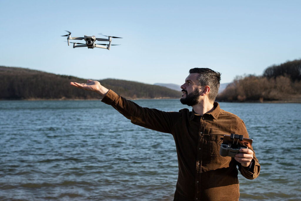
In this comprehensive program, we’ll dive deep into the world of professional drone piloting and advanced photogrammetry techniques. By the end of this course, you’ll be equipped with the skills needed to excel as a professional drone pilot and create intricate 3D models using advanced photogrammetry methods.
Module 1: Advanced Drone Piloting Techniques
- Mastering Precision Flight Control
- Dynamic Flight Manoeuvres for Complex Environments
- Advanced GPS Navigation and Waypoint Missions
Module 2: Photogrammetry Fundamentals Review
- Recap of Photogrammetry Basics
- Exploring Camera Settings for Optimal Results
- Understanding Lens Distortion and Calibration
Module 3: Capturing Challenging Environments
- Mapping in Urban and Dense Areas
- Aerial Mapping in Forested and Vegetated Zones
- Coastal and Water Body Mapping Challenges
Module 4: High-Resolution Imaging
- Using High-Resolution Cameras for Enhanced Detail
- Overcoming Challenges of High-Altitude Mapping
- Data Management for Large Image Datasets
Module 5: Point Cloud Generation and Processing
- Generating and Working with Point Clouds
- Filtering and Classifying Point Cloud Data
- Creating 3D Meshes from Point Clouds
Module 6: Creating Accurate Ortho mosaics
- Advanced Ortho mosaic Generation Techniques
- Dealing with Terrain Variation and Complex Topography
- Seamline Optimization and Eliminating Stitching Artifacts.
Module 7: 3D Model Texturing and Enhancement
- Applying Realistic Textures to 3D Models
- Adding Ground Truth Data for Improved Accuracy
- Incorporating RGB and Multispectral Imagery
Module 8: Specialized Applications and Industries
- Archaeological Site Reconstruction
- Disaster Relief and Emergency Response Mapping
- Mining and Quarrying Volume Calculations
Module 9: Data Analysis and Interpretation
- Analysing Elevation Data for Slope Analysis
- Identifying Vegetation Health and Stress Patterns
- Extracting Measurements and Dimensions from Models
Module 10: Project Management and Collaboration
- Managing Complex Photogrammetry Projects
- Collaborating with GIS Professionals and Surveyors
- Client Communication and Reporting
Module 10: Final Assessment and Certification
Throughout this course, you’ll engage in hands-on projects that challenge your skills and creativity, enabling you to tackle real-world photogrammetry challenges with confidence. By mastering advanced photogrammetry techniques, you’ll be prepared to contribute to a range of industries and projects that demand accurate 3D models and spatial data.
NOTE –STUDENT WILL LEARN THE ABOVE-MENTIONED MODULES USING PIX4D SOFTWARE. STUDENT WILL BE AWARDED A CERTIFICATE FROM PIX4D.
Get In Touch
Play Video
- Course Duration
- Skill level
- Students
- Module
- Certifications
- 25 Days
- Professional
- 75+
- 11
- Yes
Testimonials
What People Say About Us
They provide High quality of training and if you are ambitious in getting into the drone industry then this is the place to be! All the Trainers here are very professional and they make sure that you pass out with the best of knowledge! This training helped me visualize the best version of myself! Thank you so much team
Smriti
Trustworthy and high-quality drone related services. Totally recommend this company!
Madhuri Muralidhar
Has all the prerequisites and much more for a complete training in Drone and it's peripheries!
Ajay Ghosh
Great aerial mapping and drone inspections. Excellent service.
Sanjana RK
It's a wonderful platform and a good environment, Drone training and Drone services are Excellent here.
They treat customers really well
They treat customers really well
Shubha Shru
Knowledge regarding drone and its application is very good and drone training at this place is effective.
Anand Rampur
Good training centre and one stop solution for all drone pilots. Technically sound folks. I rate 5/5
Aravind Santebennur Paniraj