About Us
Aerophile Academy
DGCA DRONE PILOT TRAINING PROGRAM
“The World has always been explored by using Maps. New Maps have always resulted out of these explorations. From Columbus to Blackbeard to Captain Cook, the relentless pursuit continues. We just seem to have a better resolution rate”
Aerophile Academy is a motivated team of inspired individuals who have their heads steeped in technology, their aspirations in the sky, their noses up in the air and their hands destined to chart out several exciting journeys, that help our customers to translate data into actionable information.
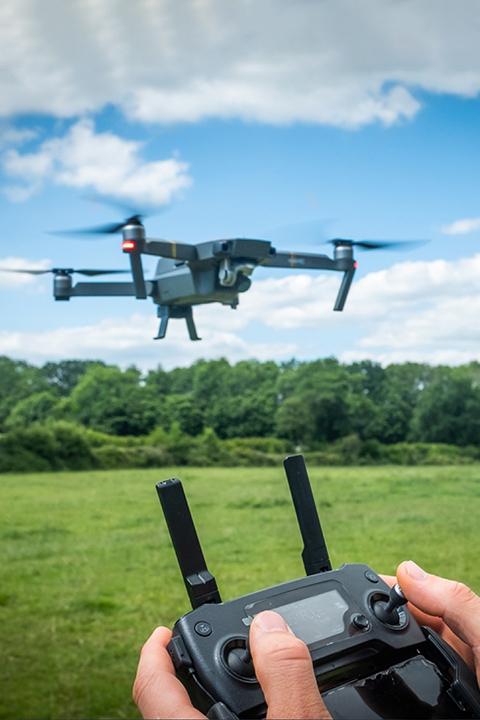
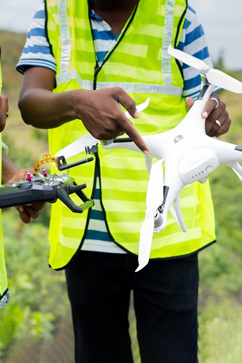
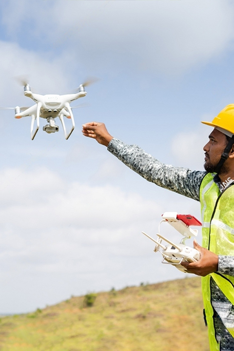
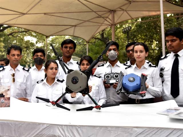
We have structured the most comprehensive Drone Pilot training course, approved by the DGCA and have successfully imparted training to Pilots who are learning to fly! We’ve also laid out the most detailed & comprehensive course structure which make pilots realise their true potential.
“It’s not just about learning to fly. It’s about mastering the art.”
We're about Quality and Trust

Mission
To Tread the Path of Excellence in Drone Education.

Vision
To be the Best Holistic Drone Training Centre for a Safer, More Secure & a Sustainable Drone Industry.
Corporate overview
Over a short period of time, Aerophile Academy, in association with Skyvenger Aviation has completed over 500 projects, processed over 100,000 images with an overall margin of error that is less than 5cm and has provided services in several sectors including Aerial Surveying and Mapping, Corporate videos, Agriculture, Mining, Transportation and Logistics, Construction, Utilities, Real Estate, Forestry and Disaster Management.
Infrastructure
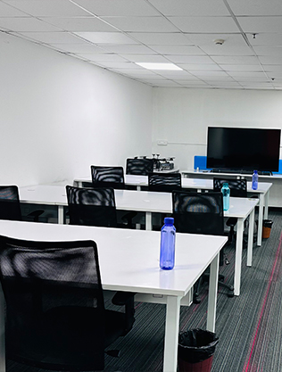
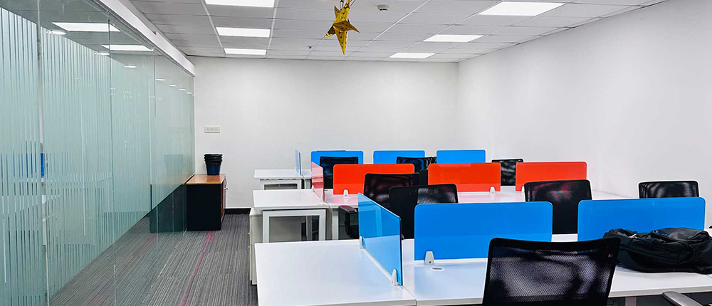
Our Infrastructure is made up of 2 distinct components. Our Campus, where we train Drone pilots and our fleet / equipment that we deploy in our projects.
Our Drone Pilot Courses are conducted keeping high standards of service in mind, The Campus provides us with classrooms, a simulation facility and a diverse landscape for test piloting our Drones. It dovetails extremely well with the Security and Surveillance services offered by our partners.
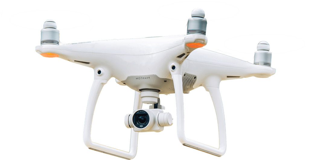
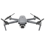
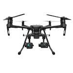
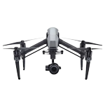
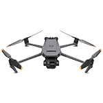
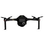
Our Fleet has drones that are handpicked for the nature of the survey and the desired outputs required by our customers. A drone is a mini satellite that captures images and videos at lower altitudes and the specifications largely hover around the range, the endurance (total flight time), image and video resolution rates, compatibility with software, sensors, transmission systems, resistance to wind speeds and temperatures
Our fleet for Survey/Surveillance application includes:
Infrastructure
Infrastructure
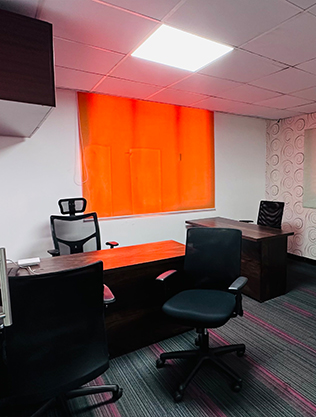
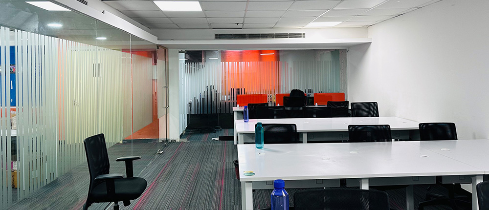
Our Infrastructure is made up of 2 distinct components. Our Campus, where we train Drone pilots and our fleet / equipment that we deploy in our projects.
Our Drone Pilot Courses are conducted keeping high standards of service in mind, The Campus provides us with classrooms, a simulation facility and a diverse landscape for test piloting our Drones. It dovetails extremely well with the Security and Surveillance services offered by our partners.
Our Fleet has drones that are handpicked for the nature of the survey and the desired outputs required by our customers. A drone is a mini satellite that captures images and videos at lower altitudes and the specifications largely hover around the range, the endurance (total flight time), image and video resolution rates, compatibility with software, sensors, transmission systems, resistance to wind speeds and temperatures
Our Statistics do the talking
Testimonials
What People Say About Us
They treat customers really well
Gallery
